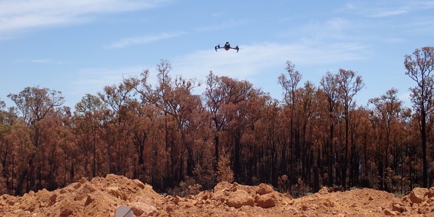
By using drone imagery, the Department of Water and Environmental Regulation's compliance officers can more efficiently assess changes in vegetation cover, map areas in high resolution, identify emissions and illegal dumping, and estimate volumes of waste and other materials with a high degree of accuracy.
They can also use remotely sensed imagery to quickly check and monitor large and inaccessible areas more easily and safely than before.
While satellite imagery has often been used to map and monitor sites, drone imagery can produce high-resolution orthomosaics (large maps made up of smaller images), revealing centimetre-level detail of every feature on the ground. This allows compliance officers to verify whether clearing activities are within their approved areas and provides detailed evidence of unauthorised activity to support prosecutions.
The technology also enables revegetation areas to be mapped to a level of detail that was previously unavailable. This means areas of poor regrowth and incomplete revegetation can more easily be identified and referred for follow-up action, which helps to improve the outcomes of conservation efforts.