Background
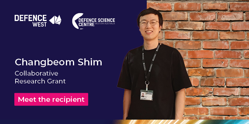
Prof Ba Tuong Vo and Dr Changbeom Shim from Curtin University are joining forces with CMW Geosciences, The University of Western Australia, RMIT University, and the Defence Science and Technology Group to develop new sensor fusion technology.
The group’s focus is on geotechnical and environmental mapping; a process that analyses the type, density, composition, and layout of terrain. The process is used to determine what land can be built on as well as to assess existing facilities.
Traditional mapping techniques are laborious processes that involve manually placing sensors across the terrain being assessed, returning to each sensor to collect the data, and then analysing that data. When using sensors that output disparate data or mapping across larger swathes of land and infrastructure, the process becomes exponentially more costly and time-consuming.
Approach
Dr Shim and his team are constructing a new method of combining and analysing mass sensor data with the support of the Defence Science Centre (DSC) Collaborative Research Grant (CRG). Their new technology will use sensor fusion to automatically aggregate sensor data, utilising a method known as ‘Bayesian inference’ to combine potentially contrasting data.
By devising a data-driven system to analyse the aggregated data, the team are opening-up the possibility of an automated program to collect, combine and comb through information. Utilising new environmental perception technologies for potentially problematic conditions means a safer and more robust system of maintenance.
"Working in collaboration with CMW Geosciences, the grant will be a keystone of a host of geotechnical projects having great potential for dual-use intelligence, surveillance, and reconnaissance (ISR) technologies”, stated lead applicant Dr Shim.
Outcome
Their technology promises to be a leap forward in construction maintenance, providing the Australian Department of Defence with a fast and cost-efficient method to analyse complex defence infrastructure to higher degrees of fidelity than ever before.
Applications for this technology extend even further. Future use in intelligence, surveillance and reconnaissance efforts may see 3D terrain mapping utilised in surveillance of near shore, on-land or subterrain environments. Providing defence an effective means to locate both natural and man-made underground structures.
The Collaborative Research Grant (CRG) is one of several grants operating through the Defence Science Centre.
Find more information on the CRG on the Defence Science Centre grants programs page.


